Climate Control: Predicting Floods and Volcanic Eruptions

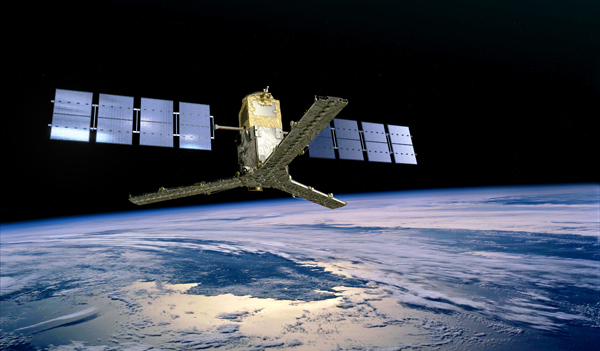
SMOS over Earth – via ESA
As anyone who’s been caught in a sudden rainstorm can attest that predicting the weather can be dodgy business. Global warming has produced more erratic weather patterns, making this task even more difficult. Recent large-scale natural disasters, such as the 2004 Indian Ocean tsunami and Hurricane Katrina, highlight the need for better climate-monitoring systems.
Fortunately, this past month the European Space Agency launched the Soil Moisture and Salinity (SMOS) probe, a $460 million satellite that promises to help predict floods and droughts across the globe. The goal of SMOS is to measure the capacity of soil to retain water, which will help forecast drought and flood risk, and to calculate the planet’s carbon cycle to determine the amount of CO2 pollution that affects climate change. It will also track the amount of salt of sea surface waters, which will give scientists better understanding of ocean circulation patterns. And all this will be achieved from an earth-orbiting satellite.
The following video illustrates some of the cutting-edge technology used by SMOS, as well as what scientists hope it will achieve:

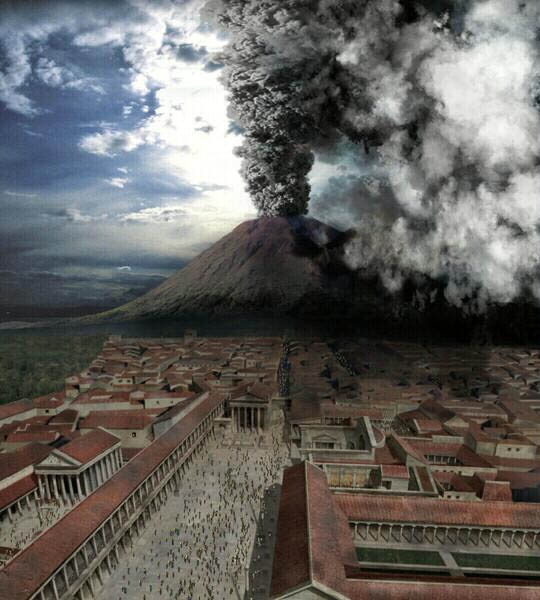
A more contentious climate engineering project involves drilling into the Campi Flegrei caldera, a sunken magma pit that was the site of a supercolossal eruption 39,000 years ago. This highly volcanic area, once known by ancient Romans as the Phlegraean Fields or the “entrance to Hades,” now lies beneath the city of Naples. A modern-day eruption would likely rival the infamous devastation of Pompeii in 79 A.D. by the volcanic Mt. Vesuvius.

An artistic recreation of the eruption that destroyed Pompeii
The Campi Flegrei Deep Drilling Project proposes boring seven holes of up to 2.5 miles in depth into the caldera to help measure volcanic activity and predict future eruptions.
But here’s the catch: drilling carries a risk of triggering the very eruption everyone hopes to avoid. Though the chances of such an occurrence are minimal, engineers responsible for the project must nonetheless take such dangers into consideration. So what’s the answer? Is it better to take a risk to be forewarned, or to find a safe method of prediction?
Let’s hear from you: if you were a volcanologist, would you proceed with the Campi Flegrei Drilling Project? Why or why not?
Filed under: Aerospace, Agricultural, e-News, Environmental, Mining
Tags: Aerospace, Agricultural, Environmental, Mining


